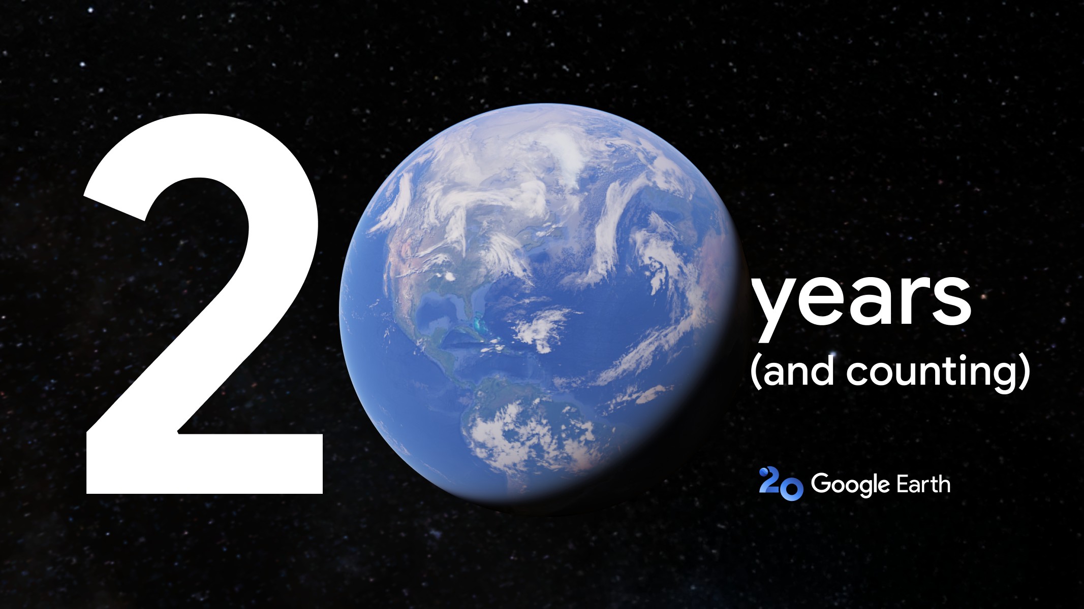
Two decades. It feels like just yesterday we were introduced to a revolutionary digital looking glass, a window onto our planet that shrunk distances and broadened horizons. Now, Google Earth, the mapping giant that transformed our understanding of global geography from abstract lines on a paper map to a vivid, interactive sphere, marks its 20th anniversary. This isn’t just a birthday; it’s a milestone for a tool that has become an indispensable part of modern exploration, education, and even casual curiosity. To celebrate this monumental occasion, Google is pulling back the curtain on some truly fascinating updates, chief among them a feature that lets us swim upstream in the river of time.
Rewinding the World: A Virtual Time Machine Arrives
The standout addition to the Google Earth platform is a feature that can only be described as a virtual time machine. Imagine being able to revisit cherished locations not just as they appear today, but as they were years ago. This isn’t science fiction; it’s the powerful new capability integrated right into the app. Specifically focusing on the vast repository of Street View imagery, users can now engage in a delightful exercise of digital archaeology. With a simple swipe or click, the bustling street corner you see today can dissolve into the quieter scene of yesteryear, revealing layers of time like turning pages in a planetary scrapbook.
This “time slider” feature, available within the Street View interface, allows anyone to effortlessly rewind Street View memories. Are you curious about how your childhood home looked ten years ago? Want to witness the gradual transformation of a major city landmark? Or perhaps you’re tracking urban development, coastal erosion, or the impact of environmental changes? This tool provides an unparalleled opportunity to do just that. It’s like having access to a global archive of visual history, captured frame by frame over the past decade and a half that Street View has been active.
The implications of this feature are profound. For individuals, it’s a powerful catalyst for nostalgia. Users can journey back to a favorite vacation spot, see how a university campus has evolved since graduation, or simply observe the subtle shifts in their neighborhood over time. It turns Google Earth into a personal memory vault linked to geography. For researchers, urban planners, historians, and environmental scientists, it’s an invaluable dataset, providing a rich, visual timeline of changes that would be incredibly difficult and time-consuming to compile otherwise. It offers a concrete look at the past, enabling better understanding and planning for the future.
More Than Just Maps: Two Decades of Digital Discovery
Over the past 20 years, Google Earth has consistently pushed the boundaries of digital cartography and geospatial technology. It began as a simple tool for viewing satellite imagery but quickly grew into a complex platform incorporating 3D models of cities, detailed terrain data, and the immersive Street View experience. It has been used in classrooms to teach geography, by adventurers to plan expeditions, by aid organizations for disaster relief, and by billions of curious minds simply wanting to see what the other side of the world looks like.
The platform has evolved from a static representation to a dynamic, living model of our planet. The addition of features like time-lapses showing global change over decades, integrated data layers on climate, weather, and demographics, and now the ability to granularly explore the history of Street View locations, solidifies its position not just as a map service, but as a powerful educational and exploratory instrument. It bridges the gap between abstract data and tangible visual reality, making complex global issues and historical perspectives accessible to everyone.
This 20th anniversary update, particularly the Street View time machine, is more than just a technical achievement; it’s a gift of perspective. It allows us to literally see how the world changes, how places transform under the ceaseless march of time. It reminds us that every location has a past, a story told not just in history books but in the very fabric of its streets and buildings. It’s an invitation to explore not only distance but also duration, to witness the echoes of previous moments lingering in the digital present.
- Explore 20 years of global imagery and data.
- Utilize the new virtual time machine for Street View.
- Swipe through historical street-level imagery from different years.
- Rediscover places and witness changes over time.
- Experience a new level of nostalgia and historical insight.
As Google Earth steps into its third decade, this update serves as a powerful reminder of its potential. It continues to be a canvas for exploration, a database for knowledge, and now, a poignant archive of visual memory. Whether you’re a first-time user or a seasoned digital explorer, diving into the past of your favorite places is now just a few clicks away. So take a spin, rewind the clock, and see the world not just as it is, but as it was, courtesy of Google Earth’s 20th anniversary celebration.